Coral Reefs Larger On Earth Than We Could’ve Imagined
According to recently discovered satellite images, researchers are claiming that the world’s coral reefs are 25 percent larger than initially thought. Based on the new images, additional coral reef networks have been composited by machine learning tools which suggests an undiscovered stretch of over 24,700 square miles of the living ecosystem exists beneath the depths, as demonstrated by the Allen Coral Atlas. This additional biodiversity accounts for an area that is roughly the size of Ireland, bringing the total quantity of coral reef square footage to the size of Germany.
Satellite Technology Broke The Old Visual Barrier
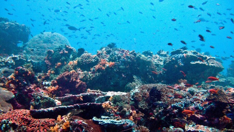
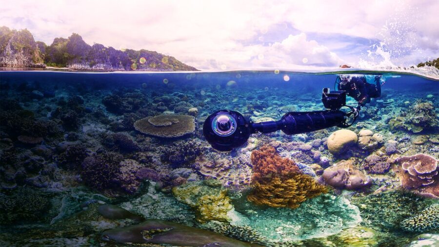
There are many different kinds of coral reef networks, including some which line the sea floor in lagoons and others which stand tall as living walls in the depths of the ocean. Most of the newfound structures occupy the niche of hard bottom rock with hunks of colorful coral subsisting on the ocean floor. Previous graphs were unable to detect these reefs as satellite imaging was not advanced enough to reach depths as far as 30 meters while producing planet-wide scans.
Trillions Of Pixels To Analyze
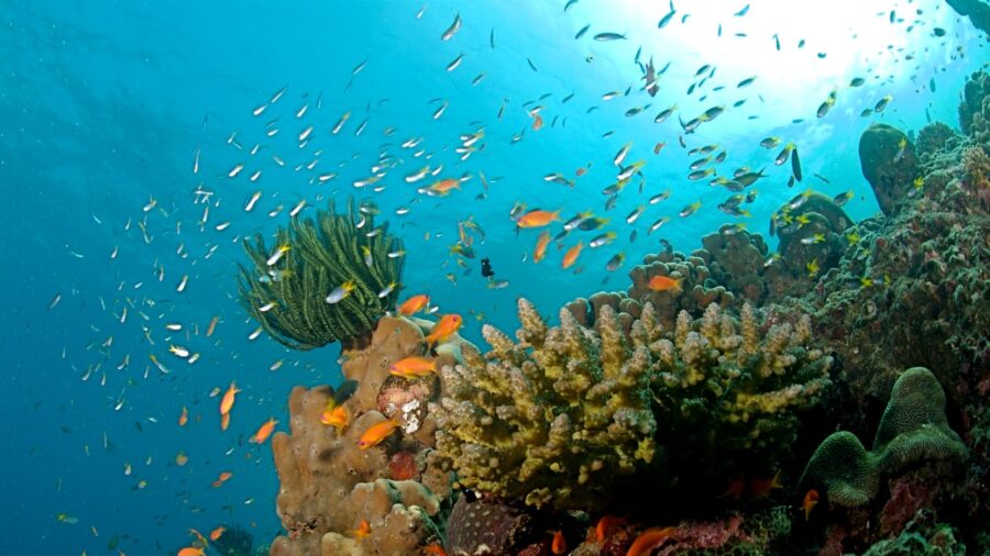
Now that satellite imagery has become more powerful, coupled with the computational abilities of artificial intelligence and machine learning, scientists have been able to determine high-resolution data that displays a wide range of coral reefs deep beneath the choppy waves in regions off the coast of Cuba, Australia, and the Maldives. Digital maps of the coral were composited by imagery which ranged over 100 trillion pixels of data, combed through by nearly 500 researchers and biodiversity enthusiasts. The hard work of these individuals resulted in the world’s first comprehensive map of coral reefs, showcasing the massive and diverse swaths of coral clusters across the world’s oceans.
Sinking To New Depths
Oceanographers can use the tools on the Allen Coral Atlas website to dive into the world of coral reefs and explore the many different regions where these lifeforms dwell, while reef management agencies have already begun to utilize the map to plan and assess conservation efforts. Thanks to the enhanced satellite images, they can see more of the ocean at a deeper depth than ever before.
Coral Bleaching
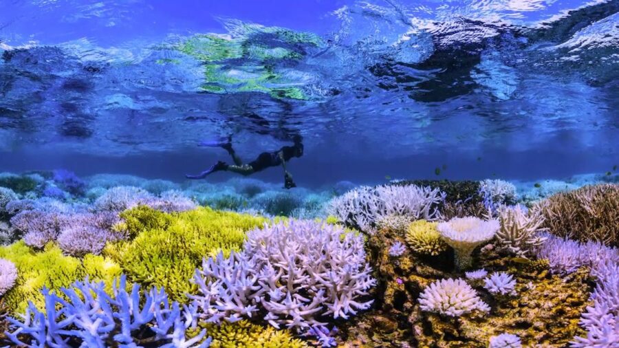
This is a particularly crucial time for coral reefs, as many of these ecosystems have been harmed in recent years by human interaction, tourism, and man-made climate change. Massive sections of Australia‘s Great Barrier Reef, for instance, have become bleached in recent years due to excessive tissue damage, requiring a significant effort to rebuild the region to its natural beauty. Now that our satellite imaging has become powerful enough to assess the full slate of corals around the world, it raises the question, have there been more undiscovered reefs destroyed by climate change or pollution?
The Fight To Protect Coral Reefs

Regardless, bioscientists are currently leading efforts to protect and conserve coral reefs located off the coast of Indonesia, Panama, Kenya, and a host of other locations where the newfound reefs were previously undiscovered. With any luck, humanity may be able to create environments where reefs can not just survive, but thrive.