See The Terrifying Storm That Turned The Skies Green In South Dakota
The Wizard of Oz famously began and ended in Texas, but this North Dakota green storm turned the skies emerald.
This article is more than 2 years old
For movie locations throughout cinematic history, the state of South Dakota does not pop up quite often. The occasional storyline has come up surrounding events at Mount Rushmore, like Cary Grant’s adventures in Alfred Hitchcock’s masterpiece North by Northwest. Martin Sheen and Sissy Spacek even took audiences through South Dakota as part of their murder spree in Terrence Malick’s 1973 epic Badlands. But nothing compares to real-life terrifying occurrences that almost seem straight out of a movie, similar to what happened recently in South Dakota when a storm appeared to engulf the skies, turning them green.
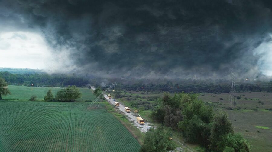
According to a report by The Byte, a terrifying storm touched down in Sioux Falls, South Dakota this week, turning the skies various shades of green. The publication compared the sight to the green gamma radiation found in the Marvel Cinematic Universe that helped transform Bruce Banner into The Hulk from the Avengers franchise. The green color within the storm is referred to as a derecho, a set of thunderstorm complexes that move along state borders and often has the significance of a tornado that covers 100 miles. Thousands of residents noticed the green hue coming from the impending storm, with one Twitter user taking to social media to show images of the storm’s impact:
As reported by The Washington Post, the specific green storm derecho that manifested this week covered multiple states, including sections of South Dakota, Iowa, Nebraska, Minnesota, and Illinois. Only in some of these places did the skies appear green, similar to a hazy, condensed version of the aurora borealis. Winds were reported to have reached nearly 100 mph in some areas, many of which were hit by a similar storm back in May of this year. While derechos don’t seem to be rare in this part of the United States, it isn’t always that someone can visually notice the green tint to the storm’s approach.
Specifically in Sioux Falls, South Dakota, the local Weather Service reported winds reached more than 58 mph continuously for 45 minutes, with a peak of 80 mph. The American Meteorological Society states that if a thunderstorm is categorized as a derecho, that typically means that “Damage must be incurred either continuously or intermittently over a swath of at least 650 km (~400 mi) and a width of approximately 100 km (~60 mi) or more.” When the green color follows the storm, that appears to do with the water the storm is holding onto, which is often a great deal of water. Blue wavelengths are primarily seen in these thunderstorms as large raindrops and hail dissipates, leaving blue and green shades to puncture beneath the storm cloud.
The derecho has since scattered around the Midwest, and South Dakota seems to be safe now from the ominous green colors that took over the sky during the storm. If it wasn’t captured in real-time by social media users, the colors in the sky might not have been seen by those that don’t live in the area. For thousands of residents, however, this week’s meteorological events may live on as if they once saw them in a movie.