Ancient Landscape Unearthed Under Arctic Ice
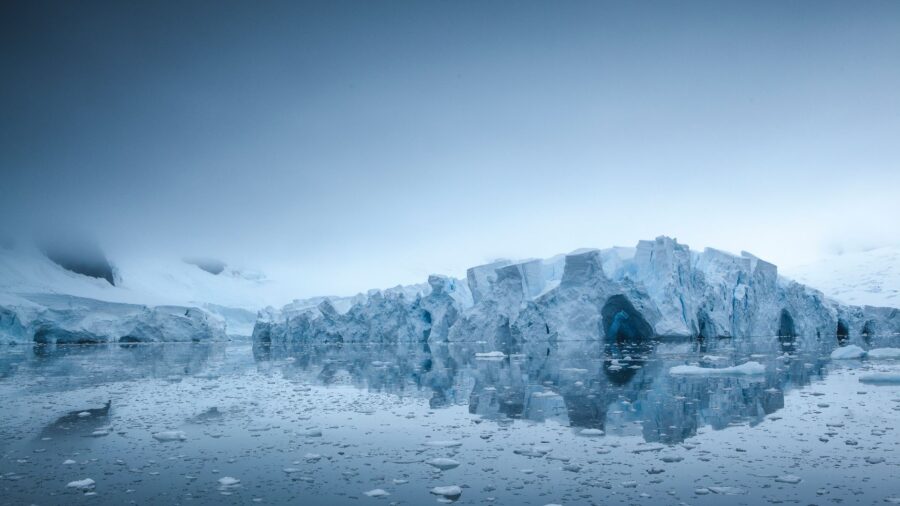
Underneath the dense sheets of East Antarctic ice lurks a piece of ancient history, untouched by time, newly revealed in a groundbreaking study (via Nature). Stunning satellite data has recently documented an ancient, river-carved landscape beneath the ice of Antarctica, offering a vivid, incredible glimpse into the area’s pre-glacial era.
Satellite Data Discovers Preserved River Landscape In Antarctica

What makes the find so unique and possible in the first place is the pristine, preserved nature of the area in question. Uniquely and thankfully, the ancient landscape beneath East Antarctica remained largely untouched, despite shifting ice masses eroding the surrounding regions over millions of years. This pristine patch of ancient real estate, adjacent to the Aurora and Schmidt subglacial basins, veritably withstood the ravages of (a lot of) time, remaining virtually untouched.
The Unearthed Landscape Remained Untouched For Thirty-Four Million Years
How much time? Thirty-four million years.
Scientists were able to employ existing data and map the slight elevations and depressions characterizing the ice surface. These subtle shifts mirror the adjustments in the underground landscape. Experts discovered unique stretches of topography and ancient landscape buried almost a mile beneath the surface, divided into three respective zones, distanced by valleys.
The Ancient Landscape Was Part Of A Supercontinent

While we’re all conditioned to expect a horror movie scenario, a la The Thing, involving a frozen spaceship, the reality differs…slightly. The prehistoric topography points to a once unified landmass broken apart by the fracturing of the supercontinent Gondwana, which split during the Cretaceous period. These tectonic forces and the continental drift they commenced led to splits and fractures. The seismic activity is evidenced today by the three distinct hills characterizing the ancient landscape beneath Antarctica.
Following the Cretaceous period, as the climate cooled, ice caps took shape atop the three segments of the landscape. These ice caps then melted, leading to rivers flowing toward the coast and carving out valleys. Then, about 34 million years ago, a humongous ice sheet swallowed Antarctica—effectively freezing this bygone topography in time.
Why Didn’t The Landscape Erode?
Intriguingly, although most of East Antarctica experienced erosion beneath the weight of said ice sheets, the area in question was spared. Why? The ice sheets above the ancient landscape failed to thicken enough to produce water layers that, over millions of years, could erode the land underneath. According to scientists, ice flow patterns demonstrate substantial activity in the landscape but not in the overhanging ice sheets, which were frozen.
How This Discovery Could Impace Our Future
Although the satellite data offers a thorough lens for understanding the preserved topography, its precise age remains a subject of curiosity. And it’s only fair to point out that sporadic warming over the last 34 million years would have both melted the ice sheets overhanging the ancient landscape in question and thus altered it somewhat.
Therefore, the definitive method to ascertain the area’s age is to drill through the ice and sample the rock and sediment below. Given these rock and sediment samples are around a mile under the ice, such a drilling job is easier said than done.
Still, it’s a possibility, and meanwhile, understanding the river-crossed land beneath the East Antarctic ice sheet offers more than just a fascinating glimpse into ancient history: it can also forecast the future. The more we understand the shape and characteristics of ice flow and its impact on surrounding environments, the more we can comprehend potential changes in our increasingly warming world.