Hunger Games Fans Use Google Maps To Nab Catching Fire Location Photos
This article is more than 2 years old
I was as surprised as anyone by my enjoyment of the film version of The Hunger Games, especially after badmouthing it in favor of Battle Royale for so many months. The beginning was clunky, but once “survival instinct” became the thrust of the plot, I dug it. I find myself nearing excitement for the sequel’s release in November, and it isn’t only to stare at Jennifer Lawrence. (That would be what watching House at the End of the Street was for.) But am I excited enough to scour Google Maps for the possibility of finding Catching Fire in the process of filming? Never, but it’s kind of cool that someone else was.
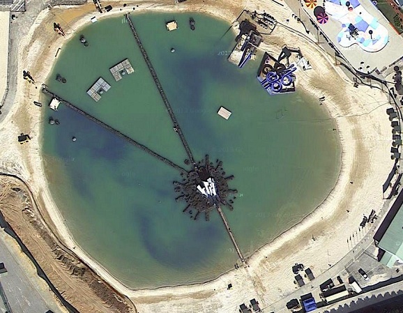
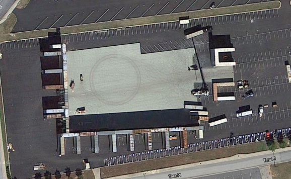
Pseudo-detectives and Twitter users @starfishtony and @Whedonite96 discovered these satellite photos of both Catching Fire‘s unique lake-within-a-forest setting, as well as an overhead view of the Tribute parade. The beach scene was being filmed in Georgia’s Clayton County, in a place originally built for beach volleyball contests in the 1996 Summer Olympics in Atlanta. The vastness of the Atlanta Motor Speedway is serving as the Capitol, where all of the tributes will be unveiled. The parades in New Orleans this week are going to be much more interesting.
Catching Fire‘s plot revolves around the Quarter Quell, an event taking place every 25 years, when past victors from all Districts must come forward and compete in the Games. The setting here will be even more perilous and difficult to navigate than that seen in the first film, and brings a beach danger the likes of which haven’t been seen since Jaws. Or at least Baywatch.
The Hunger Games: Catching Fire opens in theaters on November 22nd.